Super-nice day with fair weather clouds, sea breezes and…er, smoke?
Yep, that’s right. Thousands of miles away, the boreal forests of the Northwest Territories are aflame. Thousands of acres are burning amidst a searingly hot summer with very little rain. Firefighters are few and far between, so unless the fires are threatening human life, communities or major infrastructure, they are left to burn out. Unfortunately, there is no rain in the forecast, so the wait could be a long one.
Here’s a shot of the fires:
 The red blobs are the fires, clearly visible from space.
But that’s not where the story ends. This mass of smoke was lifted into the middle atmosphere over the last week and then hurled south into the Lower 48 via the jestream. After milling about in the Midwest yesterday, the same winds brought it to New England today.
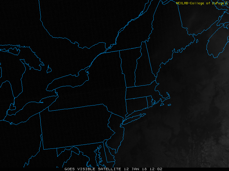 See the milky tail arcing from Albany, NY off of Cape Ann? That’s the smoke.
Wild stuff, eh? Now you know how the very cold air gets here from the same area in winter.
On to the weekend. We’re looking pretty good, but not stellar. I’d call it a 50/50 split in the forecast with Saturday’s sun trumping Sunday’s mostly cloudy sky.
Small shot at some showers on the Cape/Islands on Sunday as a very weak weather system slides by offshore. Nothing to cancel plans over, but something to be aware of if you’re making plans for the beach.
Steam heat is down but not out in the long range. I’m expecting it to return by the middle of next week as the southwest winds return. Some strong storms are possible by Thursday, but that’s our next significant chance at any precipitation.
Make it a good, safe weekend.
Pete